The Icefields Parkway connects Lake Louise and Jasper through roughly 230 kilometers of some of the most photographed scenery in the Canadian Rockies, and it's easy to underestimate how much the road itself demands in planning. Treating it as a quick connector drive, rather than a full day's destination, is the most common mistake first-time visitors make, and one that's easy to avoid with a bit of advance planning.
The following covers the practical details that make the difference between a rushed drive and a trip that actually does the road justice. None of it requires special permits or advance reservations, just realistic time budgeting for a road that rewards patience.
Fuel Up Before You Start
Services along the Parkway are limited to a single location roughly midway, and running low on fuel partway through isn't a risk worth taking given how remote much of the route is. Filling up fully in Lake Louise or Jasper before starting, regardless of how much fuel is already in the tank, removes this concern entirely for the rest of the drive.
Cell coverage also drops out for long stretches, so this isn't a route where a planning mistake gets easily corrected mid-drive. Downloading offline maps before starting the drive is a simple precaution that costs nothing and solves a real problem if navigation is needed somewhere along the way.
Budget a Full Day, Not an Afternoon
The drive itself takes around three hours without stopping, but the stops are the entire point of the road — Peyto Lake, Bow Lake, the Columbia Icefield, and dozens of unnamed pull-offs all compete for time. Treating this as a full-day activity, rather than squeezing it in alongside other sightseeing, respects how much the road actually offers.
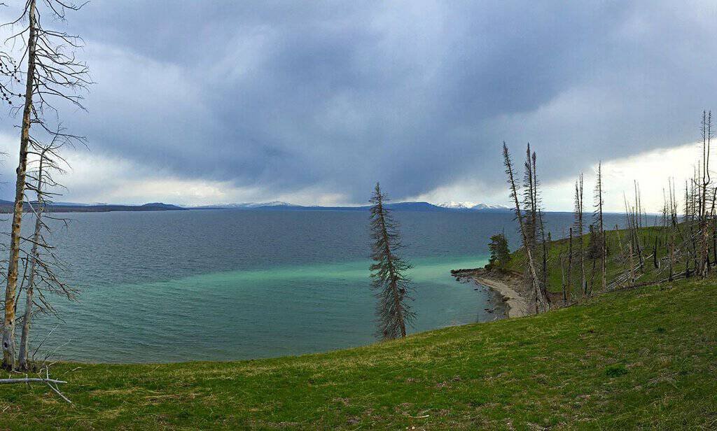
Starting early in the day leaves room for the inevitable extra stops that weren't on the original plan but turn out to be worth it once you're actually on the road.
The Columbia Icefield Deserves Extra Time
This is the largest icefield in the Canadian Rockies and one of the most accessible glacier viewing points in North America, which makes it worth more than a quick photo stop from the parking area. Walking closer to the toe of the glacier, where paths allow it, gives a much better sense of scale than viewing it from a distance.
Glacial recession here is visible and significant enough that markers along the path show where the ice used to reach in past decades — worth factoring into how much time gets allotted at this particular stop.
Weather Changes Faster Than Elsewhere on the Route
The higher elevation sections of the Parkway, particularly near the Icefield itself, see weather shift faster and more dramatically than the valley towns at either end of the route. A warm, clear morning in Lake Louise doesn't guarantee the same conditions at the higher points along the drive.
Packing a warm layer even on a forecasted warm day, specifically for the highest elevation stops, avoids being caught underdressed at exactly the viewpoints worth lingering at. A clear-weather view from Bow Summit over Peyto Lake, one of the higher points directly on this route, is exactly the kind of stop where a sudden weather shift would be most disruptive.

What Else Sits Just Off the Main Route
Not every worthwhile stop near the Parkway is directly on it — the old Crowsnest hotel and cafe, further south along a different historic route through the Rockies, is a reminder that this region's roads are full of small detours beyond the headline stops most visitors plan around. A short side trip to Johnston Canyon on the way to or from the Parkway rounds out a day that would otherwise be entirely about open lake views.
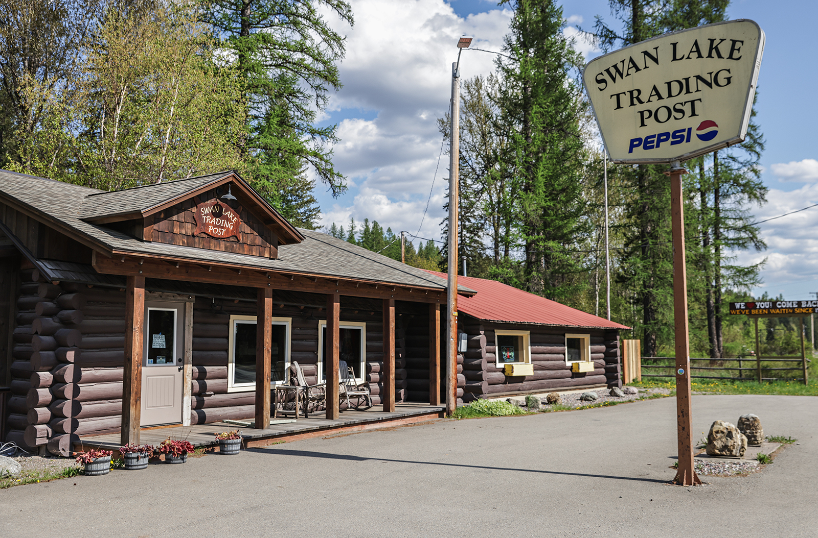
Building in room for one unplanned detour, rather than treating the itinerary as fixed, tends to produce the stories worth telling afterward.
Traffic and Construction Can Add Unplanned Time
Road maintenance is common along the Parkway during the short summer construction season, and delays of twenty minutes or more at a single-lane section aren't unusual during peak months. Building a little slack into the day's schedule accounts for this without turning a brief delay into a missed stop elsewhere on the route.
Checking current, up-to-date road conditions the actual morning of the drive, rather than relying on older information gathered from before the trip even began, catches any recent closures or unexpected delays before they become an unwelcome, frustrating surprise partway through an already long and genuinely tiring day of mountain driving.
Must-See Stops Along the Route
- Bow Lake — early stop with mountain backdrop, good morning light
- Peyto Lake — short walk to an elevated viewpoint over the lake
- Columbia Icefield — allow extra time for the glacier walk
- Athabasca Falls — near the Jasper end, worth the short detour
- Any unnamed pull-off that looks interesting — some of the best views aren't officially marked
Frequently Asked Questions
How long does the Icefields Parkway actually take with stops?
A full day is realistic for seeing the main highlights properly, even though the drive itself takes only around three hours without stopping.
Is there fuel available along the route?
Only at a single location roughly midway, which is why filling up fully before starting the drive matters.
Is the Columbia Icefield worth the extra time beyond a quick photo?
Yes — walking closer to the glacier gives a much better sense of scale than a brief stop from the parking area.
Do I need special gear to drive this route?
No special gear for a summer drive, but packing a warm layer for the higher elevation stops is worth doing even on a warm-forecast day.